
手动制作照片地图
概况
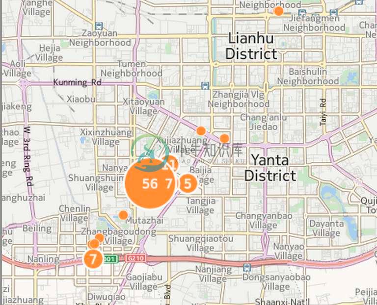
Background:把照片放在地图上
我使用的Nokia Lumia 920没有一个好的照片应用,而我当时也没有钱换一个新手机
Showcase
框架: EXIF & ExifRead & CartoDB
EXIF
可交换图像文件常被简称为EXIF(Exchangeable image file format),是专门为数码相机的照片设定的,可以记录数码照片的属性信息和拍摄数据。
EXIF信息以0xFFE1作为开头标记,后两个字节表示EXIF信息的长度。所以EXIF信息最大为64 kB,而内部采用TIFF格式。
ExifRead
来自官方的简述
Python library to extract EXIF data from tiff and jpeg files.
ExifRead安装
pip install exifreadExifRead Exif.py
官方写了一个exif.py的command可直接查看照片信息
EXIF.py images.jpgCartoDB
Create dynamic maps, analyze and build location aware and geospatial applications with your data using the power using the power of PostGIS in the cloud.
步骤
Step 1: 解析读取照片信息
简单的来说,就是我们可以创建包含位置信息的内容到上面去。
主要步骤如下:
- 需要遍历自己的全部图片文件
- 解析照片信息
- 生成地理信息文件
- 上传到cartodb
python 遍历文件
代码如下,来自于《python cookbook》
import os, fnmatch
def all_files(root, patterns='*', single_level=False, yield_folders=False):
    patterns = patterns.split(';')
    for path, subdirs, files in os.walk(root):
        if yield_folders:
            files.extend(subdirs)
        files.sort()
        for name in files:
            for pattern in patterns:
                if fnmatch.fnmatch(name, pattern):
                    yield os.path.join(path, name)
                    break
                if single_level:
                    break
python 解析照片信息
由于直接从照片中提取的信息是
[34, 12, 51513/1000]也就是
N 34� 13' 12.718几度几分几秒的形式,我们需要转换为
34.2143091667具体的大致就是
def parse_gps(titude):
    first_number = titude.split(',')[0]
    second_number = titude.split(',')[1]
    third_number = titude.split(',')[2]
    third_number_parent = third_number.split('/')[0]
    third_number_child = third_number.split('/')[1]
    third_number_result = float(third_number_parent) / float(third_number_child)
    return float(first_number) + float(second_number)/60 + third_number_result/3600
也就是我们需要将second/60,还有minutes/3600。
python 提取照片信息生成文件
import json
import exifread
import os, fnmatch
from exifread.tags import DEFAULT_STOP_TAG, FIELD_TYPES
from exifread import process_file, __version__

def all_files(root, patterns='*', single_level=False, yield_folders=False):
    patterns = patterns.split(';')
    for path, subdirs, files in os.walk(root):
        if yield_folders:
            files.extend(subdirs)
        files.sort()
        for name in files:
            for pattern in patterns:
                if fnmatch.fnmatch(name, pattern):
                    yield os.path.join(path, name)
                    break
                if single_level:
                    break

def parse_gps(titude):
    first_number = titude.split(',')[0]
    second_number = titude.split(',')[1]
    third_number = titude.split(',')[2]
    third_number_parent = third_number.split('/')[0]
    third_number_child = third_number.split('/')[1]
    third_number_result = float(third_number_parent) / float(third_number_child)
    return float(first_number) + float(second_number)/60 + third_number_result/3600

jsonFile = open("gps.geojson", "w")
jsonFile.writelines('{\n"type": "FeatureCollection","features": [\n')

def write_data(paths):
    index = 1
    for path in all_files('./' + paths, '*.jpg'):
        f = open(path[2:], 'rb')
        tags = exifread.process_file(f)
        # jsonFile.writelines('"type": "Feature","properties": {"cartodb_id":"'+str(index)+'"},"geometry": {"type": "Point","coordinates": [')
        latitude = tags['GPS GPSLatitude'].printable[1:-1]
        longitude = tags['GPS GPSLongitude'].printable[1:-1]
        print latitude
        print parse_gps(latitude)
        # print tags['GPS GPSLongitudeRef']
        # print tags['GPS GPSLatitudeRef']
        jsonFile.writelines('{"type": "Feature","properties": {"cartodb_id":"' + str(index) + '"')
        jsonFile.writelines(',"OS":"' + str(tags['Image Software']) + '","Model":"' + str(tags['Image Model']) + '","Picture":"'+str(path[7:])+'"')
        jsonFile.writelines('},"geometry": {"type": "Point","coordinates": [' + str(parse_gps(longitude)) + ',' + str(
            parse_gps(latitude)) + ']}},\n')
        index += 1

write_data('imgs')

jsonFile.writelines(']}\n')
jsonFile.close()
Step 2: 上传数据
注册CartoDB,然后上传数据。
练习建议
无